
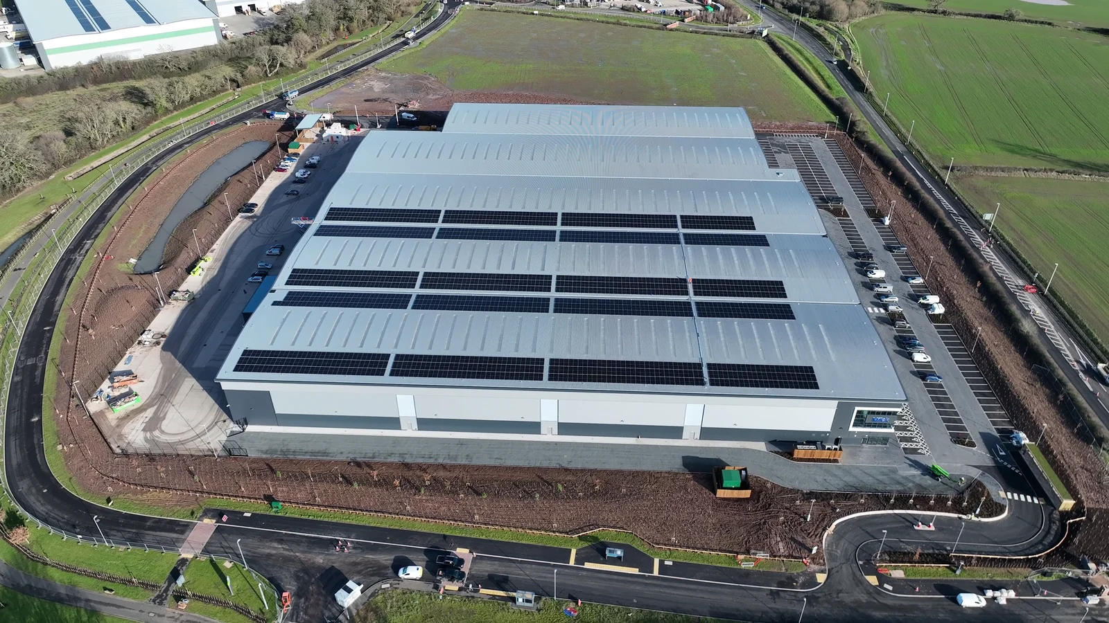
Drones for insurance
Better visibility. Better decisions. Less avoidable cost.
Drone inspections for insurance, underwriting and claims. Get the aerial evidence your team needs to assess risk, understand damage and plan the next step.
Upfront pricing and online booking for suitable standard jobs. Complex assignments receive a tailored quote.
- Verified commercial pilots
- UK wide network
- One managed assignment
Built around your workflow
- Insurers
- MGAs
- Brokers
- Claims handlers and TPAs
- Loss adjusters
- Accident management
The commercial case
Put better evidence between you and unnecessary cost.
A well scoped inspection can help your team decide what needs attention, who needs to attend and which access method is justified.
01 Access
Reduce access costs
Capture suitable roofs and elevations without arranging scaffolding or a platform solely for the initial visual inspection.
02 Revisits
Get the right evidence first
Agree the required views before the flight to reduce gaps, further requests and avoidable return visits.
03 Handling
Support remote review
Give handlers, adjusters and specialists a shared view of the site, helping focus travel and site attendance where they add value.
04 Delay
Move the next decision forward
Use clearer evidence to help prioritise investigation and repairs, reducing avoidable waiting for site information.
The saving depends on the site, inspection scope and alternative access costs. Intrusive inspection, specialist assessment or physical access may still be required.
See the opportunity
A clearer view. A more informed next step.
Explore the role of drones in insurance with Drone Assisted. From property risk information to claims evidence and repair monitoring, build the inspection around the decision your team needs to make.
Watch on YouTubeFrom underwriting to reinstatement
Useful at every stage of the property lifecycle.
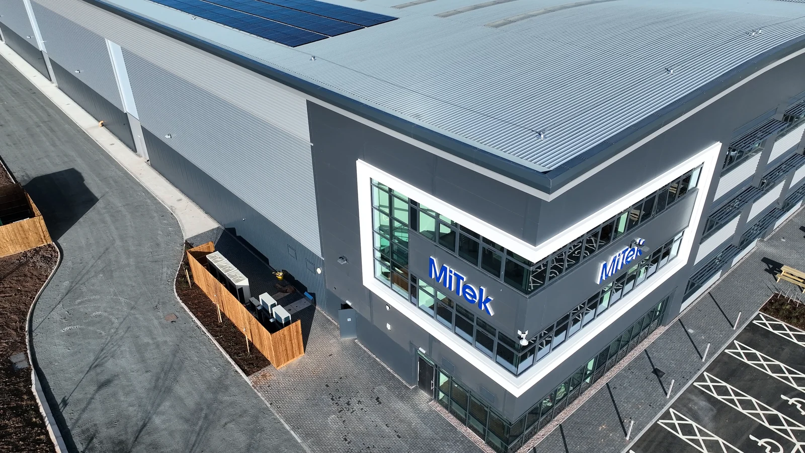
01 Underwriting and renewals
See the risk. Ask better questions.
Capture visible roof condition, external elevations, neighbouring structures and site layout to inform property underwriting and risk survey referrals.
- Create a dated visual baseline before inception or renewal.
- Identify areas for a surveyor or risk engineer to investigate.
- Record changes and agreed risk improvement work.
Cost focus: Target specialist visits and reduce avoidable information chasing.
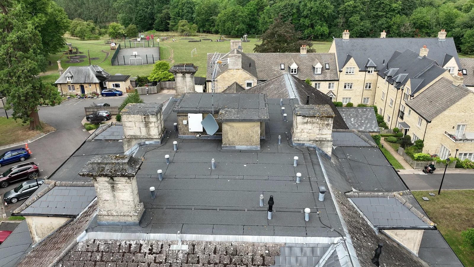
02 Claims and loss adjusting
Understand the site. Progress the claim.
Obtain overview images and detailed close views to support investigation of roof, storm and other property damage. Fire and flood locations are assessed for safe access and operational suitability.
- Show the location and visible extent of areas requiring review.
- Help prioritise attendance across multiple affected properties.
- Share a consistent visual reference with handlers and specialists.
Cost focus: Reduce unnecessary access arrangements and repeat evidence gathering.
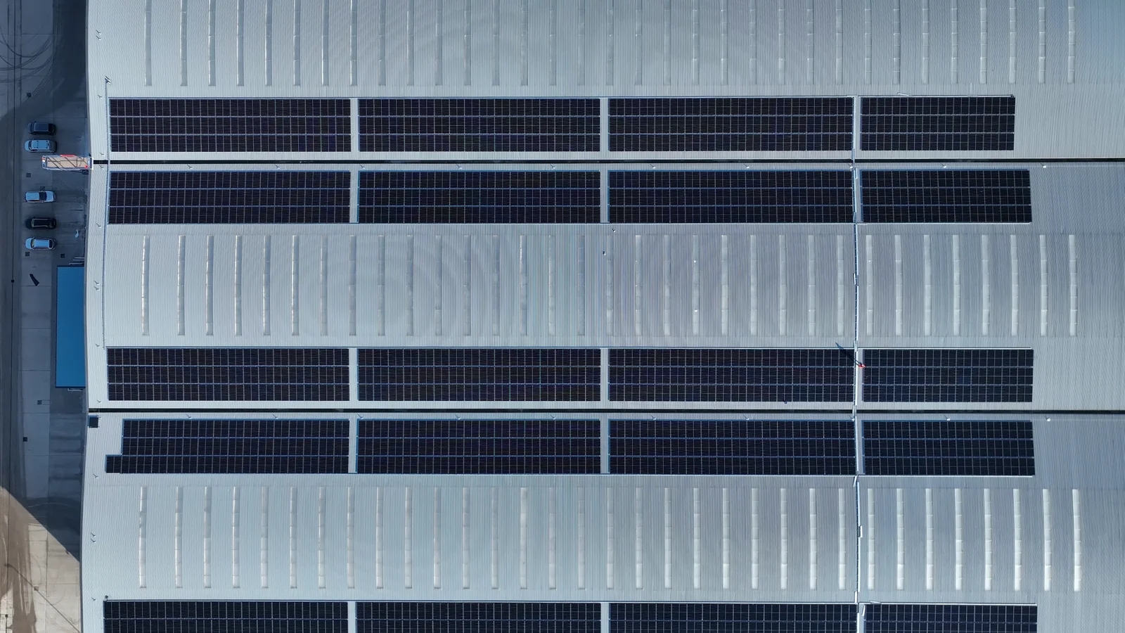
03 Risk management
Monitor the assets that matter.
Inspect commercial roofs, solar installations and external assets. Where appropriate, request specialist thermal capture to identify temperature anomalies for further investigation.
The image shows visual capture. Thermal work requires suitable equipment, conditions and interpretation.
Thermal drone surveys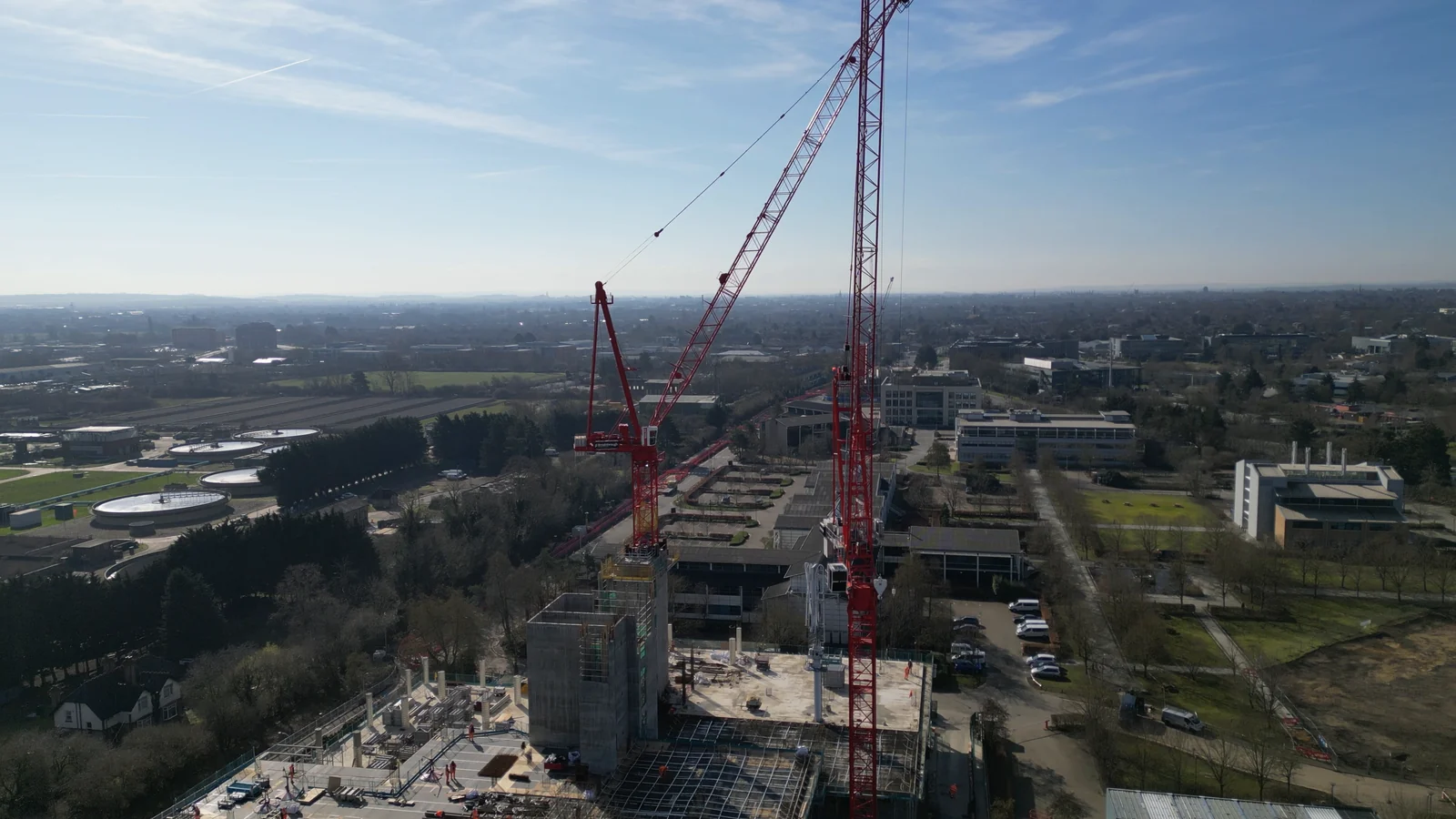
04 Repair and reinstatement
Keep a visible record of progress.
Use repeat capture to document the progress of reinstatement and compare visible work over time, helping your team identify outstanding areas and decide when specialist sign off is needed.
Construction footage illustrates progress capture; it is not presented as an insurance reinstatement case study.
Progress monitoringYour team. Your decision.
Make the evidence fit the workflow.
Select your team to see where an assignment can add value.
Risk and claims teams
Control inspection spend. Improve the information behind decisions.
Commission property risk capture, renewal inspections and claims evidence through one managed brief. Agree the outputs your underwriters, risk engineers and claims teams actually need.
- Property risk and renewal evidence
- Claims triage and targeted specialist referrals
- Repeat work across a property portfolio
Client service and placement
Help clients present a clearer property risk.
Obtain additional visual information for underwriting submissions, document risk improvements and help clients gather the property evidence requested during a claim.
- Support insurer information requests
- Document visible improvements ahead of renewal
- Coordinate evidence with the client's insurer or adjuster
Claims handling and TPAs
Give handlers a usable view of the property.
Set the evidence requirements at instruction, then use the agreed imagery to support triage, repair planning and escalation. Better scoped capture can reduce repeat requests and avoidable visits.
- Overview and detailed imagery in one brief
- Evidence for remote review and specialist referral
- Repeat capture to document repair progress
Loss adjusting
Reach the views your assessment needs.
Specify the roof areas, elevations and site context you need captured. Use aerial evidence alongside your own investigation to assess the next steps and scope any further access.
- Hard to access external areas
- Detailed photographs for specialist review
- Optional mapping or measurement, with accuracy agreed in advance
Accident management
Capture the wider site when the claim needs context.
For suitable assignments, aerial imagery can record site layout, access routes and associated damage to property or infrastructure. Agree the purpose and required views before commissioning.
- Site context for specialist investigation
- Associated property and infrastructure imagery
- Visible repair progress where relevant
Site capture is subject to safe access and permissions. It does not replace a vehicle engineer, forensic collision investigator or emergency service response.
Discuss a suitable assignment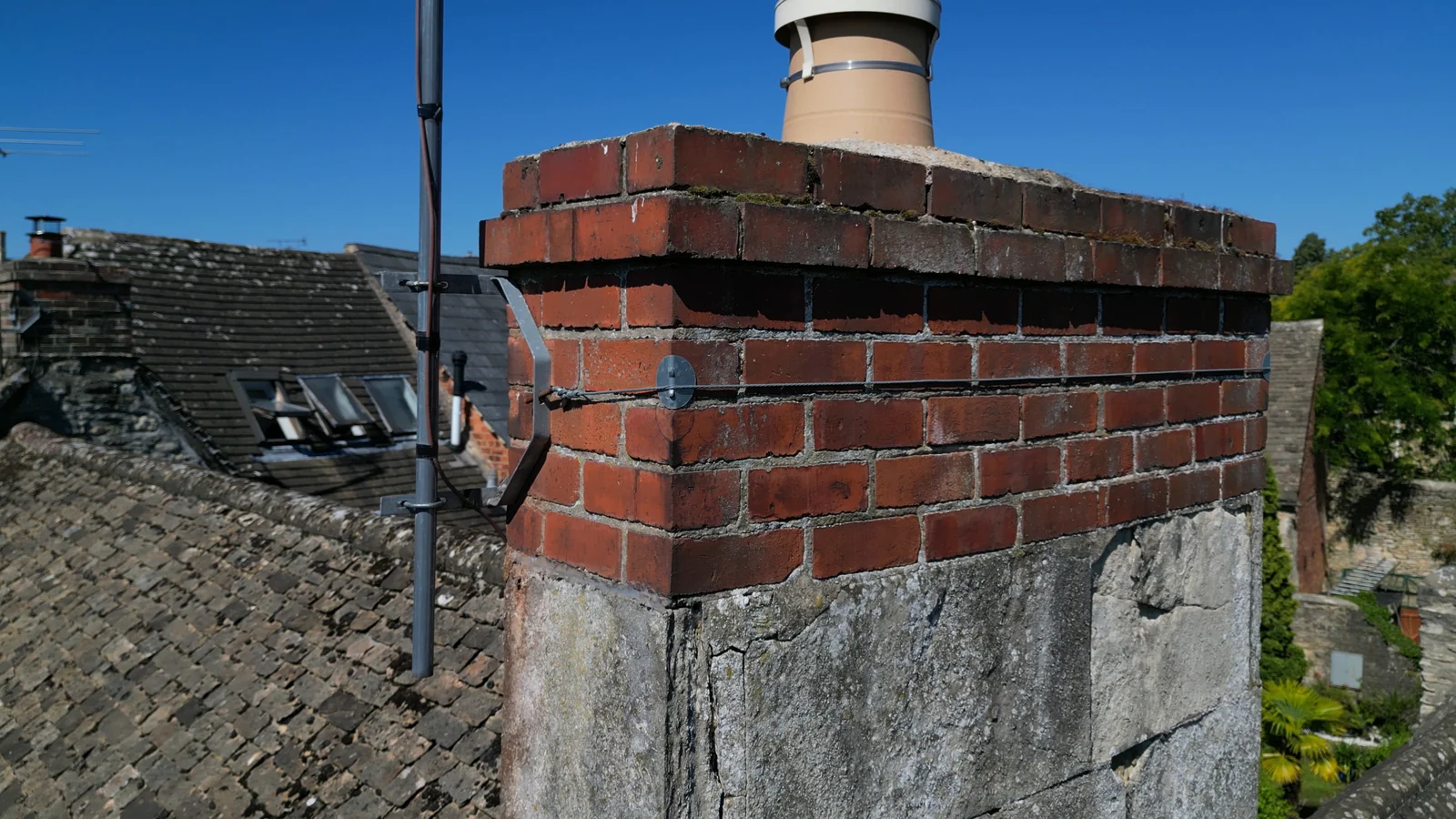
Agree the output before the flight
Evidence your team can work with.
Specify the output around the decision: a roof overview, detailed photographs, video, annotated imagery or a structured evidence pack.
- Location references and capture dates
- Overview images and the detail requested in your brief
- Annotations and reporting where agreed
- Clear coverage limits and areas requiring further assessment
Imagery supports professional judgement. It does not itself establish causation, policy cover, structural condition or repair quality. Specialist interpretation and sign off remain with the appropriate professional.
One brief, managed through to delivery
Make the instruction straightforward.
- 01
Set the brief
Tell us the location, purpose, timescale and evidence your team needs.
- 02
Confirm scope and price
Suitable standard jobs can be quoted and booked online. Complex work is reviewed for a tailored quote.
- 03
Match the capability
We assess pilot availability, equipment, permissions and the requirements of the site.
- 04
Receive your evidence
The agreed imagery and outputs are delivered for review by your team.
Practical questions
Before you instruct.
Can we get a quote and book online?
Yes. Suitable standard assignments have upfront pricing and online booking. Create a business account or sign in to get started. Business accounts are reviewed by our team. Complex, specialist or multiple site requirements may need review and a tailored quote.
Will using a drone always reduce the cost?
No. The benefit depends on the site, scope, alternative access costs and whether further inspection is still needed. Agree the required evidence first and compare the total inspection cost, including any further work.
Can you support repeat or multiple site instructions?
Discuss your locations, expected volumes, output requirements and preferred turnaround with our team. We can assess suitable capability and agree the approach before work is commissioned.
Can thermal imagery prove a leak or a defect?
Thermal capture can show temperature anomalies under suitable conditions. These need appropriate interpretation and may require further investigation. The sensor, method, environmental conditions and reporting scope must be agreed before the assignment.
How quickly can an inspection take place?
Timing is confirmed for each assignment and depends on pilot availability, location, weather, airspace, permissions and site conditions. Let us know the urgency when you submit your brief.
Can drones replace a loss adjuster or surveyor?
Drones provide aerial evidence to support the work of handlers, adjusters, surveyors and other specialists. They do not replace professional assessment, an intrusive survey or a coverage decision.
Start with the decision you need to make
Have a property risk or claim to inspect?
Tell us what your team needs to see. We will help scope the right aerial evidence.
Business accounts are reviewed by our team. Once approved, you can book jobs and contact our team through your account about regular, specialist or multiple site instructions. Already registered? Sign in.