

InfrastructureProject gallery
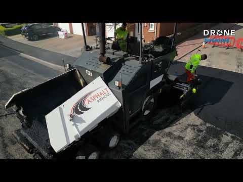
Road resurfacing aerial filming
Real footage of road paving and rolling, with the work area shown in the context of a residential street.
DOCKSIDE INFRASTRUCTURE
Wide waterfront views and close detail of dock structures, captured on a Drone Assisted assignment.
Project gallery · Infrastructure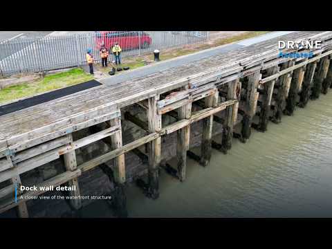
Dockside Drone Filming & Infrastructure Capture | Drone Assisted
Allow optional cookies to watch here, or watch on YouTube.
A dock is easier to understand when you can see both its wider layout and its individual structures. This Drone Assisted assignment combines aerial views across the waterfront with a closer view of the dock edge.
The overview captures the dock basin, harbour approaches, adjoining roads and nearby buildings in one frame. The closer imagery shifts attention to the waterside wall and supporting structures. Together, these views show the difference between understanding where an asset sits and seeing the detail of the asset itself.
The selected images show the shape of the waterfront, the relationship between the dock and surrounding access routes, and the exposed faces of the dock structure. The change in scale is useful: the wide views establish the setting, while the closer photograph directs attention to the asset itself.
For a dock, quay or waterfront assignment, tell us which structures need to be seen, the purpose of the imagery and any access or operational restrictions. If your brief requires measurements, mapping or an engineering interpretation, include those requirements so the appropriate capture method and specialist capability can be agreed.
The gallery
Real footage of road paving and rolling, with the work area shown in the context of a residential street.
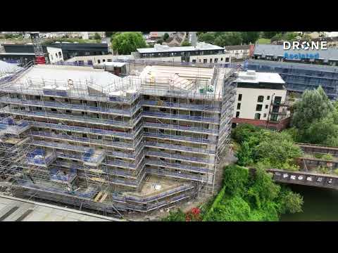
An aerial view of a multi storey development, its roof decks, scaffolding and surrounding streets.
Your next project
Tell us the location, the work you need and the outputs that matter. We’ll help match the right drone capability to your brief.
Upfront pricing on standard assignments. Specialist quotes for complex work.